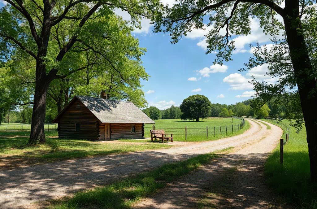
Arkansas homestead land buying considerations should center on dependable water, legal access, usable soil, flood exposure, utilities, and county restrictions before price or acreage. A parcel may appear affordable yet become impractical if a well is uncertain, the driveway crosses unrecorded permission, the building site lies in a flood-prone area, or septic approval is unlikely. Review the deed, survey, easements, mineral rights, tax status, flood maps, soil information, and planning requirements, then confirm uncertain points with the county, a surveyor, or other qualified professionals. Walk the property in wet conditions when possible, price the infrastructure separately, and make an offer contingent on satisfactory due diligence.
Match the Parcel to the Homestead You Actually Want
Arkansas acreage should be judged by its intended use rather than by the number printed in the listing. A small tract with a reliable building site, road frontage, water potential, and nearby services may outperform a larger parcel made up of steep timber, wet ground, or isolated corners. Before touring properties, write down the activities the land must support: a house, garden, orchard, livestock, firewood, workshops, ponds, or hunting. Each use creates different requirements for slope, fencing, drainage, sunlight, and access.
Landform often determines how much of a parcel is genuinely usable. A property with rolling terrain may offer excellent views but require long driveways, extensive grading, and erosion control. Bottomland can be productive for certain crops yet carry flooding or saturated-soil concerns. Mountainous or heavily wooded ground may provide privacy and fuel resources, while limiting garden sunlight and complicating construction. Compare the usable homesite and working area, not merely total acreage.
A practical scenario illustrates the difference. Two parcels may each contain twenty acres, but one has a level clearing near a public road and the other has a narrow access route leading to a ridge surrounded by ravines. The second property might suit recreation, but its driveway, water line, power extension, and building pad could consume the savings reflected in its lower price. An agent’s description is a starting point; topographic maps, a site visit, and a preliminary conversation with local officials provide a more useful picture.
Separate essential requirements from preferences. Privacy, views, mature trees, and proximity to a town can influence the decision, but a failed septic evaluation or inaccessible homesite can stop the project entirely. Readers comparing parcels should document what works, what needs testing, and what would require engineering or a substantial budget. A common mistake is buying for scenery first and attempting to force the homestead plan onto unsuitable terrain. Arkansas homestead land buying considerations become clearer when the desired daily operation is defined before the search becomes emotional.
Verify Water, Soil, Drainage, and Flood Exposure
Water is a functional and financial question, not simply a feature mentioned in a listing. Determine how the household will obtain drinking water, how gardens and livestock will be supplied, and whether a pond, spring, cistern, or well is realistic. Existing wells should be investigated through available records and inspected for condition, equipment, and water quality. A neighboring well does not prove that the same aquifer, depth, yield, or water quality will be available on the parcel.
Soil deserves equal attention because a visually attractive field may be compacted, shallow, acidic, rocky, or poorly drained. Soil information can help identify likely limitations, but it does not replace an on-site evaluation for a specific garden, orchard, or septic area. Ask where previous owners cultivated crops, whether the ground stays wet after rain, and whether livestock use has created compaction. A simple soil test can guide amendments, but it cannot turn a floodway or steep slope into a dependable building site.
Drainage changes with season and weather. Walk low areas after rainfall if possible, inspect culverts and ditches, and look for debris lines, eroded banks, standing water, or sediment deposits. Flood maps are useful screening tools, yet mapped boundaries should not be treated as a complete field diagnosis. A parcel outside a mapped zone can still experience concentrated runoff from higher ground. Conversely, a property may contain both higher and lower portions, making the homesite location more important than the parcel label.
Consider the tradeoff between a reliable water source and the cost of developing it. A creek may support wildlife and irrigation planning but is not automatically suitable for household use. A pond can require excavation, permits, maintenance, and a dependable watershed. A well may be preferable for daily convenience but involves drilling risk, pump equipment, and testing. Do not assume that a spring will remain productive through a dry season. The failure mode to avoid is treating visible water as proven household capacity; confirm the source, legal considerations, quality, seasonal reliability, and development cost before removing a water contingency.
Confirm Access, Boundaries, Utilities, and Buildability
Legal access and physical access are separate questions. A road may reach the property while the deed fails to provide a recorded easement, or an easement may exist but be too narrow or poorly maintained for construction traffic. Review the deed and title documents for access rights, shared-road obligations, and restrictions. Walk or drive the route during wet weather when possible. Ruts, steep grades, low-water crossings, and weak bridges can affect emergency response, deliveries, school transportation, and year-round living.
Boundaries should be confirmed with a current survey when the purchase depends on a particular homesite, pond location, timber area, or fence line. Old stakes, aerial imagery, and informal descriptions can be misleading. Fences may not mark legal boundaries, and a driveway or utility line may cross another tract. A survey also helps reveal overlaps, gaps, encroachments, and easements that are difficult to spot from a listing map. The cost of verification is usually easier to manage before closing than after a dispute.
Utility distance is another common source of bad estimates. Ask the electric provider for a service-extension estimate rather than assuming a nearby line makes connection inexpensive. Confirm mobile coverage at the proposed house site, not just at the road, and investigate internet availability if remote work or monitoring systems matter. If public water and sewer are unavailable, septic suitability becomes a central buildability issue. A parcel can have plenty of room for a house while lacking a practical area for both the primary system and any required reserve area.
Compare a modest off-grid plan with a conventional utility connection using actual site constraints. Solar may reduce dependence on a long power extension, but batteries, backup generation, water pumping, refrigeration, and workshop loads affect the design. A long private driveway may offer privacy while increasing gravel, culvert, grading, and maintenance costs. The mistake is to count only purchase price and house materials. Make a rough infrastructure map showing the road, homesite, well or water system, septic area, power route, barns, garden, and drainage paths. If those elements compete for the same small buildable portion, the parcel is less flexible than the acreage suggests.
Price the Land With Taxes, Rules, and Development Costs
The purchase price is only one part of the acquisition budget. Add title work, survey costs, inspections, testing, driveway improvements, clearing, grading, utilities, septic work, water development, fencing, permits, and initial structures. These expenses vary sharply with terrain and distance. A tract that costs less per acre may require a longer road and more site work than a smaller, improved parcel. Ask contractors or service providers for site-specific estimates rather than relying on general per-acre assumptions.

County and municipal requirements can shape the homestead plan even when the property feels rural. Confirm zoning, building permits, minimum dwelling standards, accessory-structure rules, subdivision restrictions, floodplain requirements, and any limits affecting livestock or commercial activity. Rural does not mean unregulated, and county boundaries can place neighboring properties under different rules. Written confirmation from the appropriate planning or permitting office is more dependable than a casual statement that an activity is “usually allowed.”
Tax records deserve a careful reading. Verify the legal description, assessed information, delinquent taxes, parcel size, and whether the current tax treatment depends on a use or classification that may change after purchase. Do not assume a seller’s tax bill will remain the same when the land is divided, developed, or used differently. Mineral rights, timber rights, leases, hunting arrangements, and existing contracts can also affect enjoyment and value. These interests should be identified in the title review, not discovered after closing.
Use a written decision threshold. For example, a buyer might reject any parcel without documented legal access, a feasible septic path, and a homesite outside known drainage trouble, even if the view is exceptional. Another buyer may accept uncertain utility costs because an off-grid design is central to the plan. Neither choice is automatically right; the important point is matching risk to budget and experience. A frequent misconception is that acreage itself provides resilience. In practice, a smaller tract with confirmed infrastructure may create fewer financial surprises than a remote property whose improvements remain unknown.
Use a Contingency-Based Due-Diligence Process
A disciplined offer gives the buyer time to test the assumptions that made the property attractive. Before making an offer, assemble the parcel number, deed information, listing map, tax records, available surveys, and contact details for the county, utility providers, and relevant inspectors. During the contingency period, schedule the checks that can change the decision: title review, survey, access verification, water evaluation, soil or septic assessment, flood and drainage review, and utility pricing.
Keep findings in a parcel file with photographs and written answers. Record where the proposed house, garden, driveway, and outbuildings would sit. If the only practical homesite conflicts with the best septic area or requires crossing a drainage channel, note that before becoming attached to the property. Ask professionals what remains uncertain, not only whether a feature appears acceptable. A preliminary opinion can identify the need for a more detailed evaluation.
A compact priority sequence works well:
- First: confirm title, legal access, boundaries, flood exposure, and a plausible buildable area.
- Next: test water and septic assumptions, then obtain utility and driveway estimates.
- Afterward: evaluate garden soil, fencing, timber, outbuildings, views, and optional improvements.
- In summary: compare the total project cost with nearby alternatives and preserve a contingency reserve.
Walk the property more than once and, if possible, in different weather. A dry-season visit may conceal ponding, access problems, or runoff patterns. Ask neighbors specific questions about road maintenance, seasonal water, storm damage, and boundary history without treating any single account as proof. A buyer who cannot get clear answers should treat uncertainty as a cost and negotiate accordingly, rather than converting unknowns into optimistic assumptions.
Use the internal resource Arkansas homestead land buying considerations as a planning reference, then verify property-specific matters with Arkansas county offices and qualified professionals. The strongest purchase decision is not the parcel with the most appealing listing; it is the one whose unavoidable risks are understood, budgeted, and acceptable. Arkansas homestead land buying considerations should end in a documented go-or-no-go decision, not a rushed closing.
Frequently Asked Questions
How many acres are needed for an Arkansas homestead?
No single acreage works for every plan. Evaluate the usable homesite, garden area, water source, septic reserve, access, slopes, and county rules before choosing a minimum size.
Should buyers test a well before purchasing rural land?
Yes, when a well exists or water development is central to the purchase. Review available records, inspect equipment, test water quality through an appropriate provider, and ask what seasonal limitations may exist.
Why is legal access different from a visible driveway?
A visible driveway may cross private land by permission or longstanding use without giving the buyer a recorded right to use or improve it. Title and easement documents should confirm access.
What should be checked before building on Arkansas acreage?
Check title, survey boundaries, access, flood and drainage conditions, soil and septic suitability, water, utilities, zoning, permits, taxes, and any restrictions or reserved rights.
Is cheap rural land usually a good homestead value?
Not necessarily. A low price may reflect difficult terrain, limited access, uncertain water, weak utility availability, flood exposure, or a small buildable area. Compare total development cost, not price per acre alone.
Conclusion
A sound Arkansas homestead purchase begins with function: identify where the house, water system, septic area, access route, garden, and working spaces can actually fit. Confirm legal access and boundaries, investigate water and drainage, screen flood exposure, and obtain realistic utility and site-development costs before treating a listing price as a bargain. County rules, tax treatment, easements, mineral interests, and restrictions can change the property’s practical value even when the land looks ideal. Put these checks into a written contingency process, revisit the parcel in different conditions, and bring in qualified professionals when records or terrain leave uncertainty. The right tract is the one that supports the intended lifestyle within a budget that includes infrastructure, not merely the one with the largest acreage or prettiest view.